Elevate Your Perspective
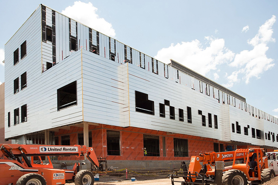
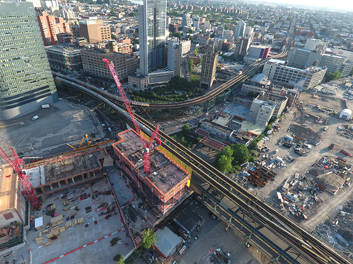
Unlock a new dimension of visual documentation with IC Aerial & Drone Photography. Our FAA-certified drone pilots capture stunning high-resolution imagery and detailed site overviews that provide unmatched clarity, coverage, and insight. Whether you need progress tracking, inspections, marketing visuals, or pre-construction documentation, our aerial solutions deliver.
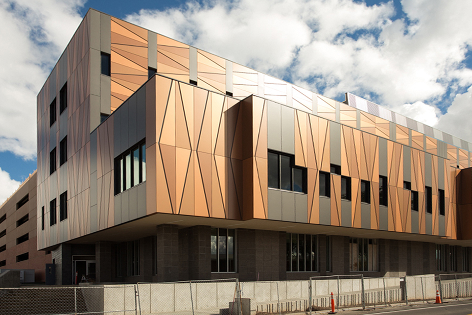
Our professional drone services provide stunning aerial photography and video to enhance marketing, documentation, and site analysis—delivering a perspective you simply can’t get from the ground.
- Comprehensive Site Overviews – Gain a bird’s-eye view of large-scale projects, showcasing entire developments, infrastructure layouts, and property boundaries.
- Unmatched Detail & Accuracy – Identify critical elements like utility placements, environmental impact zones, and construction sequencing that are difficult to capture from the ground.
- Marketing & Presentations – Impress stakeholders with cinematic aerial footage that highlights project scale, architectural design, and key selling points.
- Pre-Construction & Inspections – Capture site conditions before breaking ground and monitor hard-to-reach areas with precision aerial imaging.
- FAA-Certified & Fully Compliant – Ensure safety, quality, and legal compliance by working with Part 107-licensed drone operators—a critical step to protect against liability and ensure professional-grade results.
With IC Progress, you get more than just aerial images—you get strategic insights, enhanced project visibility, and a powerful visual narrative. We will help you get your project off the ground!